ABOUT US
Kruse Imaging's goal is to introduce products, ideas and information based upon ongoing development work in web based mapping, imaging, software and photography. This page offers some history, information and photos of the fun that brought us here.
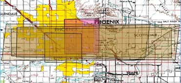
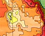
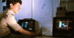
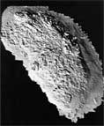
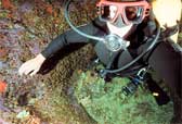
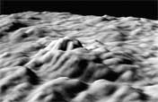
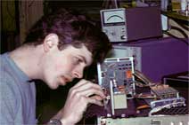
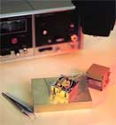
Bill Kruse established Kruse Imaging in the mid 1970s initially to handle independent hardware design and engineering contracts. Exploration, photographic and mapping opportunities motivated additional work connected to imaging. In the 1980s this evolved to include software development, bathymetric mapping and underwater photography. Subsequent projects, parallel employment and technology consulting during the ensuing 20 years led to the realization that web services and network distributed map data resources have created new opportunities to innovate.
Kruse Imaging collaborates with Terra-Vista and a geographically distributed team of skilled professionals who work on intiatives to improve the quality, processing and timely availability of geographic data products. Our Silicon Valley office and computers use 100% renewable electricity from a photovoltaic system and utility wind energy.
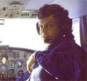
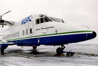
Bill is a hands-on, problem-solving engineer with diversified technical team management experience and a personal focus on networked computer hardware/software system architecture and application integration. Field applications of communications, networking, data acquisition, telemetry and computers have placed Bill in Alaska, Mexico as well as on Easter Island, ships, aircraft and at airfields in association with government, commercial, academic, and non-profit organizations. A BSEE degree from